Time for another walk and this weekend the walk was on the river Thames, from Blackwall to Woolwich, with a river crossing mid-route.
(Click the images to see larger versions).
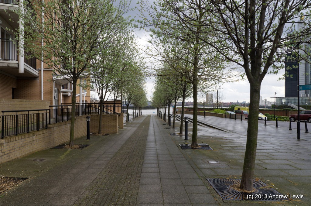
From the finishing point of the previous walk, there is a section of the river pathway that is either not accessible or inconvenient at various points due to locked gates across the route. So although I started where the previous walk ended at Blackwall DLR station, I had to walk a way inland and eastwards to start with and in fact I ended up using a footbridge across the next DLR station long the line which is East India. From the station there is a pathway labelled Prime Meridian Walk which leads down to the river.
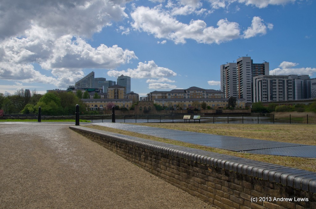
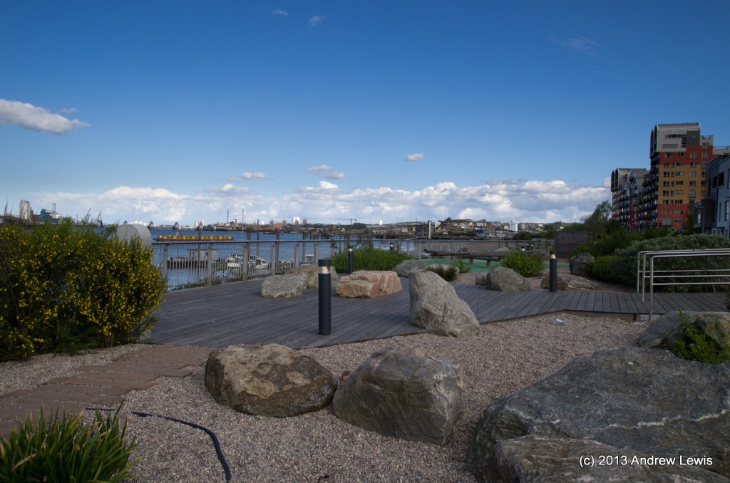
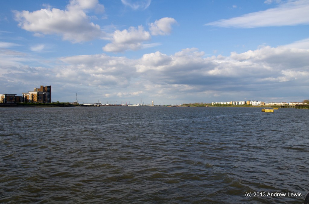
First thing to photograph at the riverside was the panorama, which revealed what the weather forecast had predicted – early afternoon rain showers clearing away to give sunny periods.
The rain and hail had been strong on the roof of the DLR train right after we emerged from the tunnel outside Bank station and it continued up to the point where I alighted at Blackwall. Fortunately the forecast was right and there was no more rain for the duration of the afternoon.
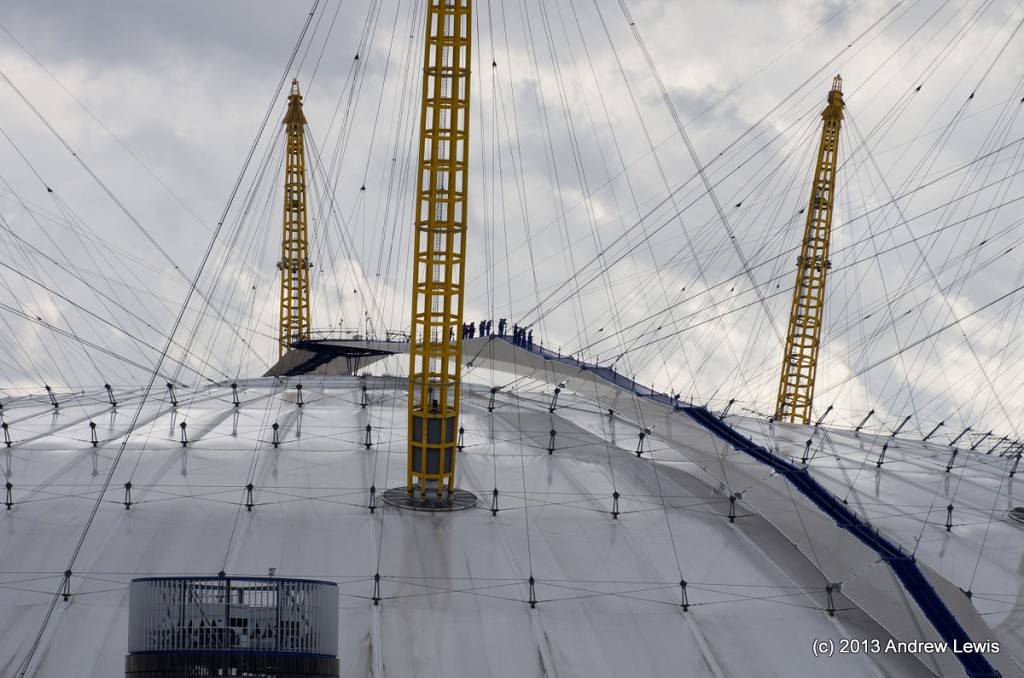
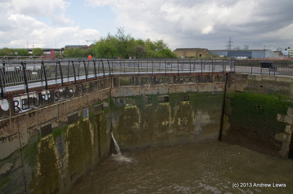
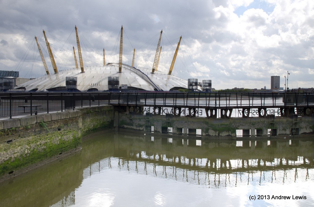
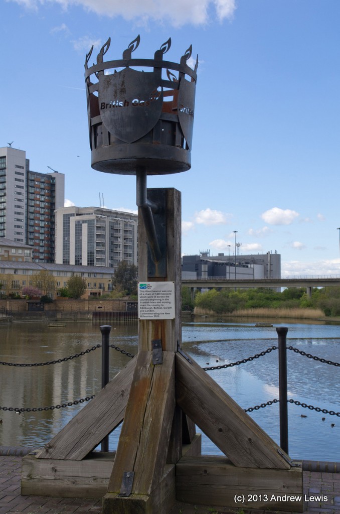
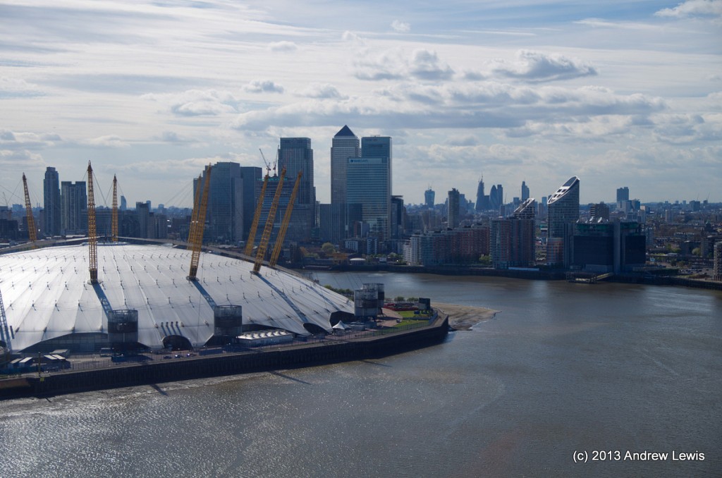
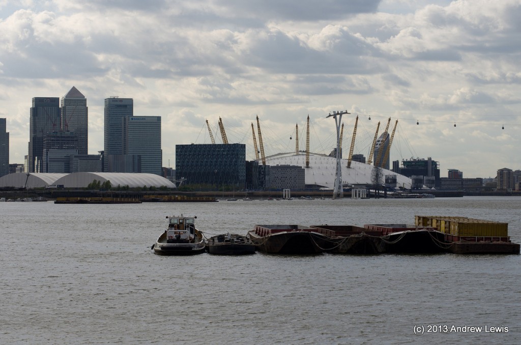
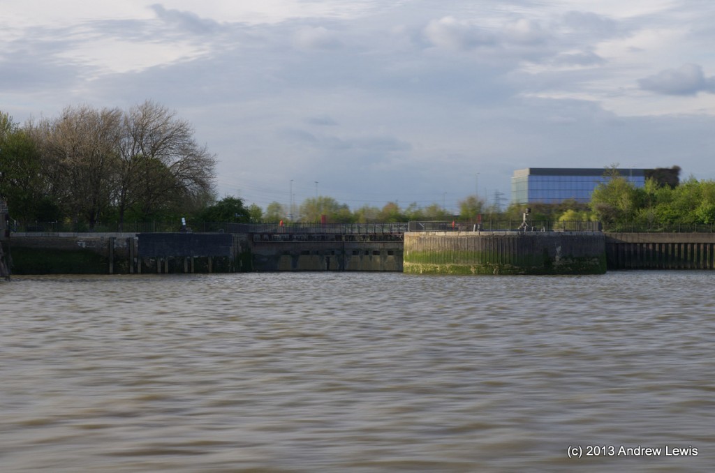
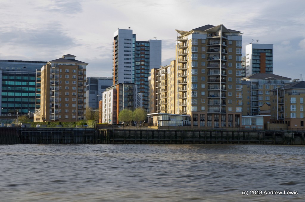
The Thames walk continues a short way alongside the river, next to some new housing, until it reaches the former East India Dock Basin, where the route crosses the basin entry over the top of two lock gates. The basin itself is now an ecology park. The area has lots of view of the O2 dome, and its new roofline walkway.
A short diversion away from the river was next, as I attempted to walk the lowest section of the river Lea, having previously walked alongside parts of it between limehouse and Three Mills. This was my chance to finish off this lower section of the Lea River. Unfortunately, the actual mouth of the river is inaccessible due to commercial land and new developments, and the section from Three Mills southwards is difficult to reach, requiring a doubling back as the path ends in a dead end.
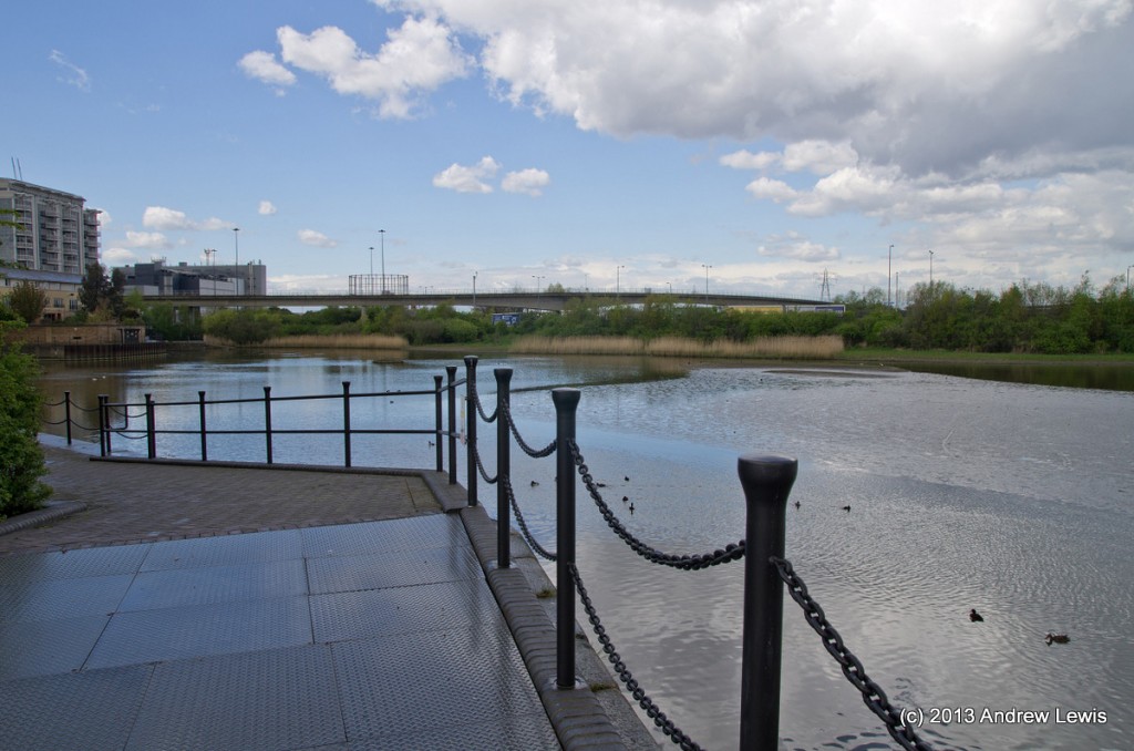
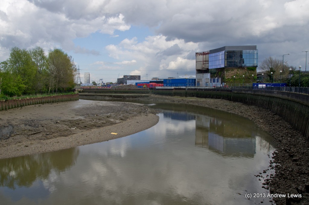
However, a small section around Bow Creek is accessible after crossing the road to the north of East India Basin.
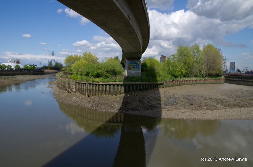
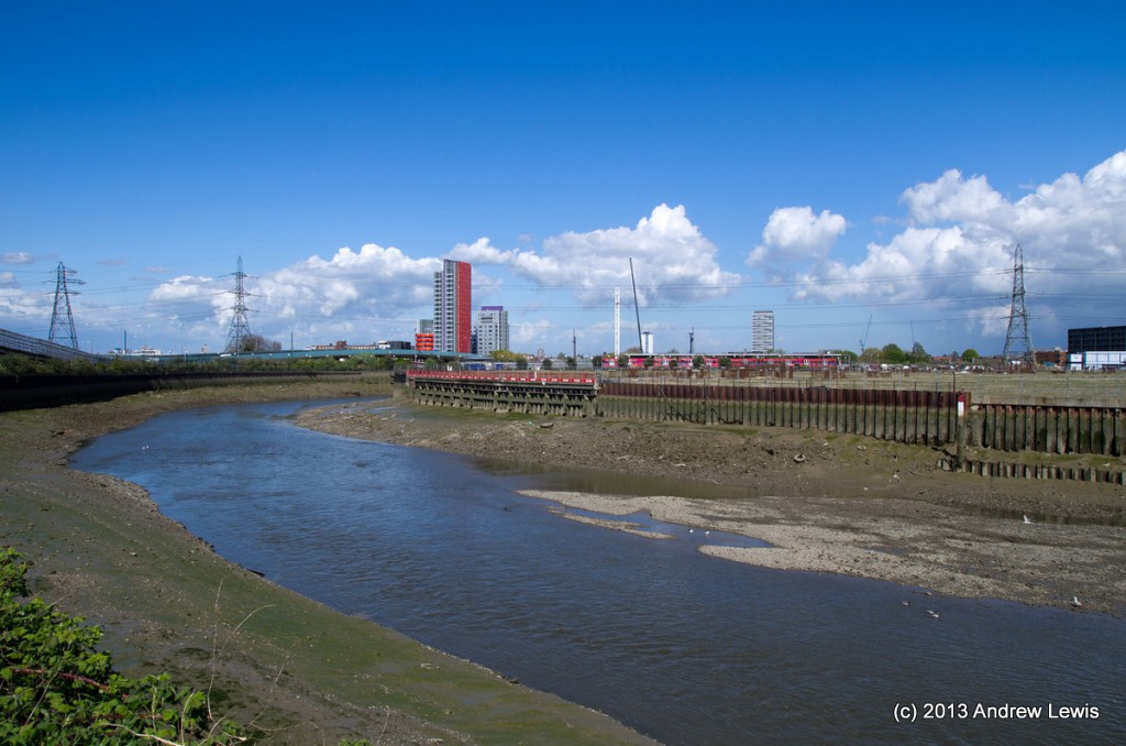
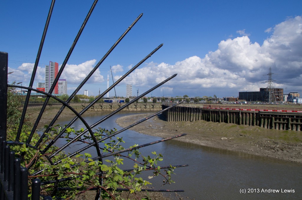
The river was at a low level today showing lots of mud at the edges of this large meander. To the east side there is a short path and roadway that leads to a bridge that allows access to the peninsular which is now an ecological park.
(Note that the former pedestrian bridge over the DLR here is now locked and therefore the walk around the peninsular is a dead end, requiring a turn back at the fence, and a re-crossing of the river to follow a roadside path towards Canning Town DLR). Due to the DLR and the river, as well as commercialisation of the land in between, it is not possible to follow the river south eastwards towards the Thames and the whole north bank of the Thames here is a mixture of docks and inlets, so a walk along Caxton Street North down to Victoria Dock road is needed followed by crossing of the DLR by footbridge and a short walk to the Royal Victoria Docks, in order to get back close to the path of the Thames.
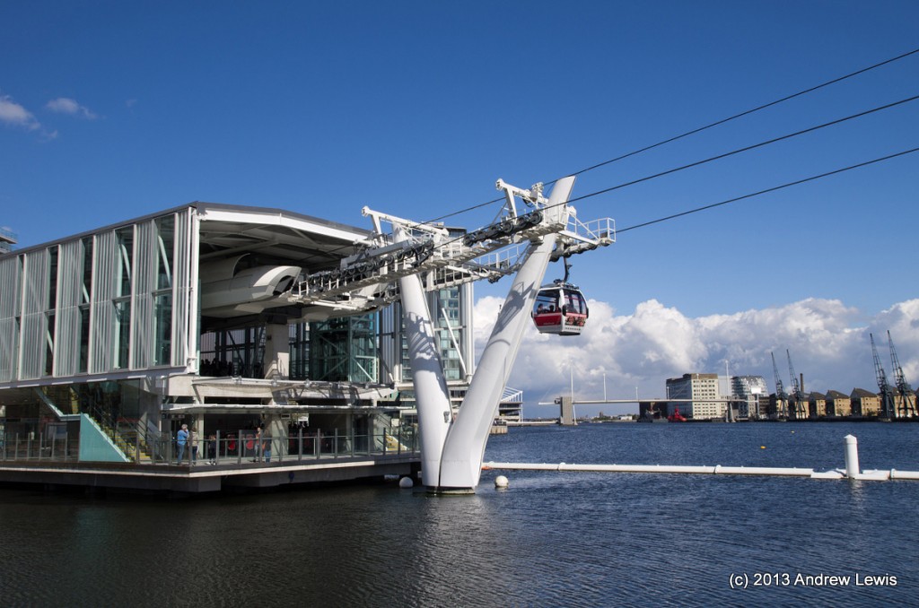
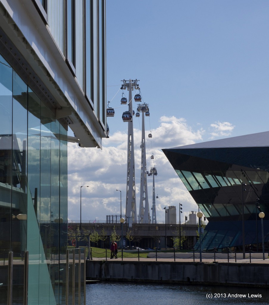
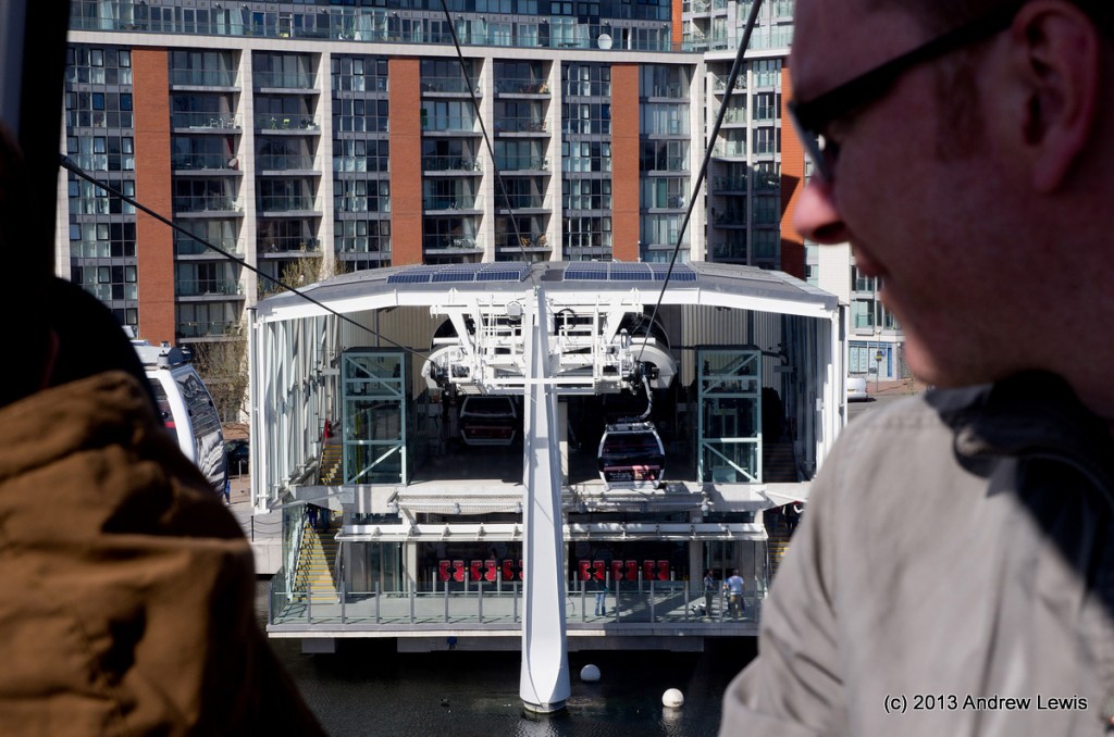
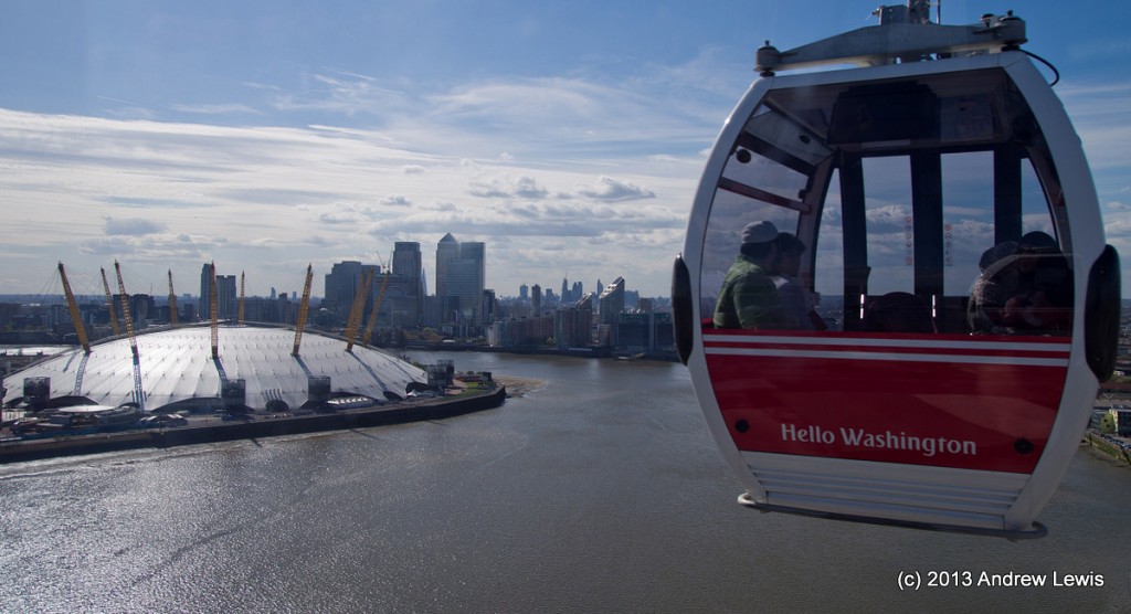
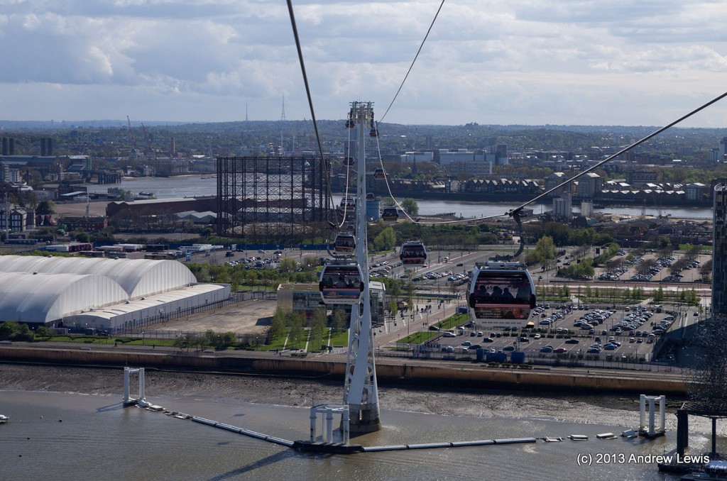
Next a break from the walking. The Thames path does not continue any more along the north bank, so it is necessary to cross over the river. There are three options: take the DLR back to the Canary Wharf area and then change lines to head south along the Isle of Dogs to Cutty Sark; DLR back to Island Gardens (via Canary Wharf) to take the Greenwich foot tunnel; or take the new Emirates Air Line cable car from Royal Victoria Docks to Greenwich Peninsular. I chose the latter as I had not used it before.
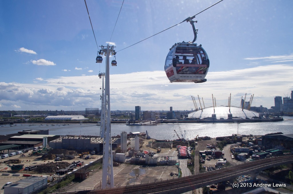
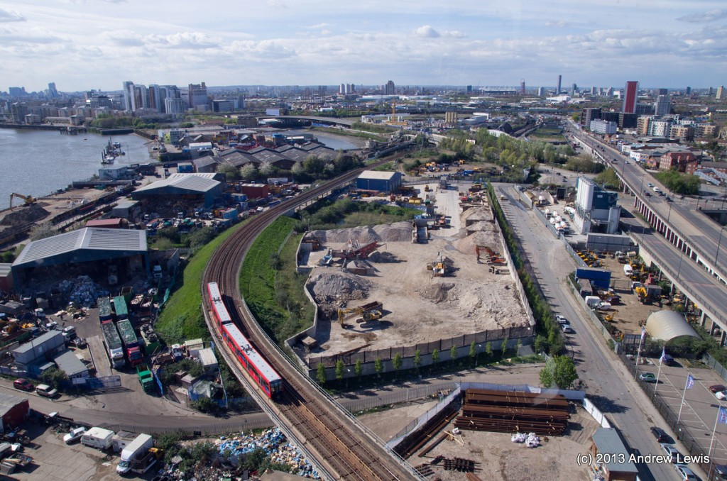
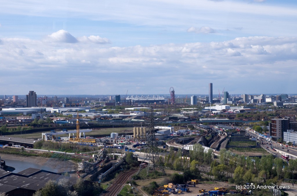
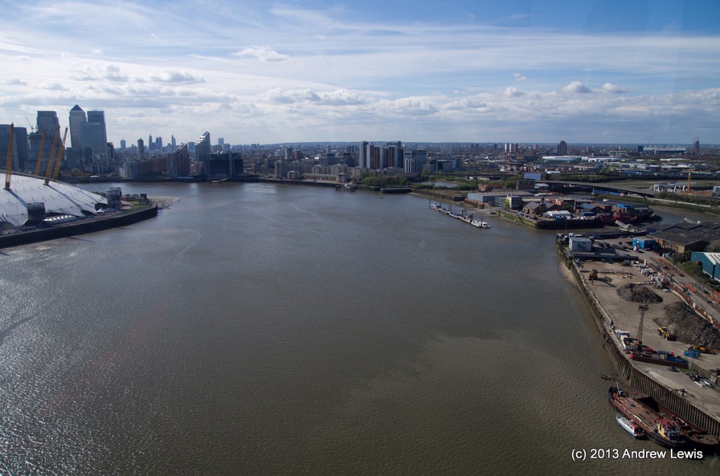
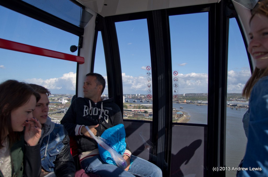
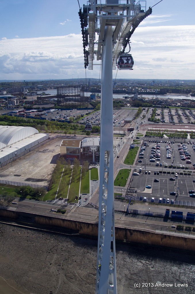
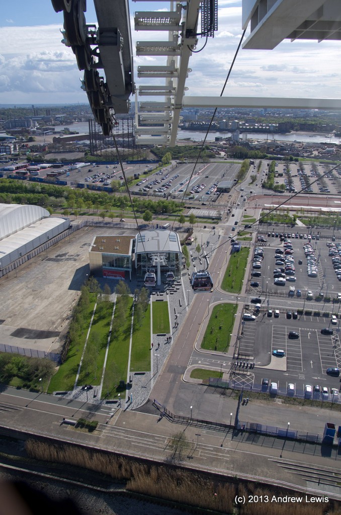
The cable car journey is quite short but gives excellent views of the area.
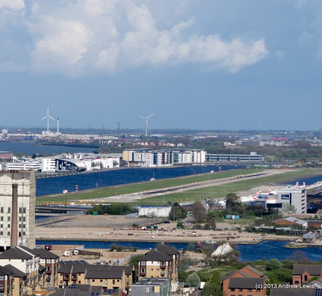
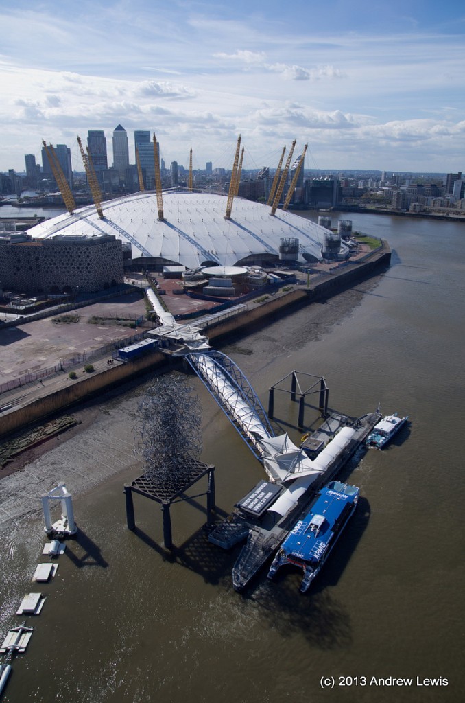
Many east London landmarks are easily visible and the cable cars give a high level view of the O2, the river, the docks, and even a glimpse of London City Airport. I guess the pilots have to remember to not turn southwards after an easterly takeoff…
The doors of each gondola are closed automatically as each one approaches the exit from the station and they re-open automatically as he gondola enters the end station.
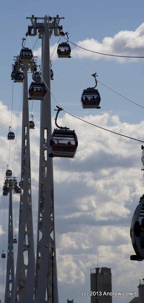
There was a stiff breeze and the gondolas were tipped sideways slightly due to the wind. Standing is not recommended but turning around on the seat allows views in all directions.
All too soon, we had crossed the midpoint and started the gentle descent between the towers, followed by a steep descent after the last tower.
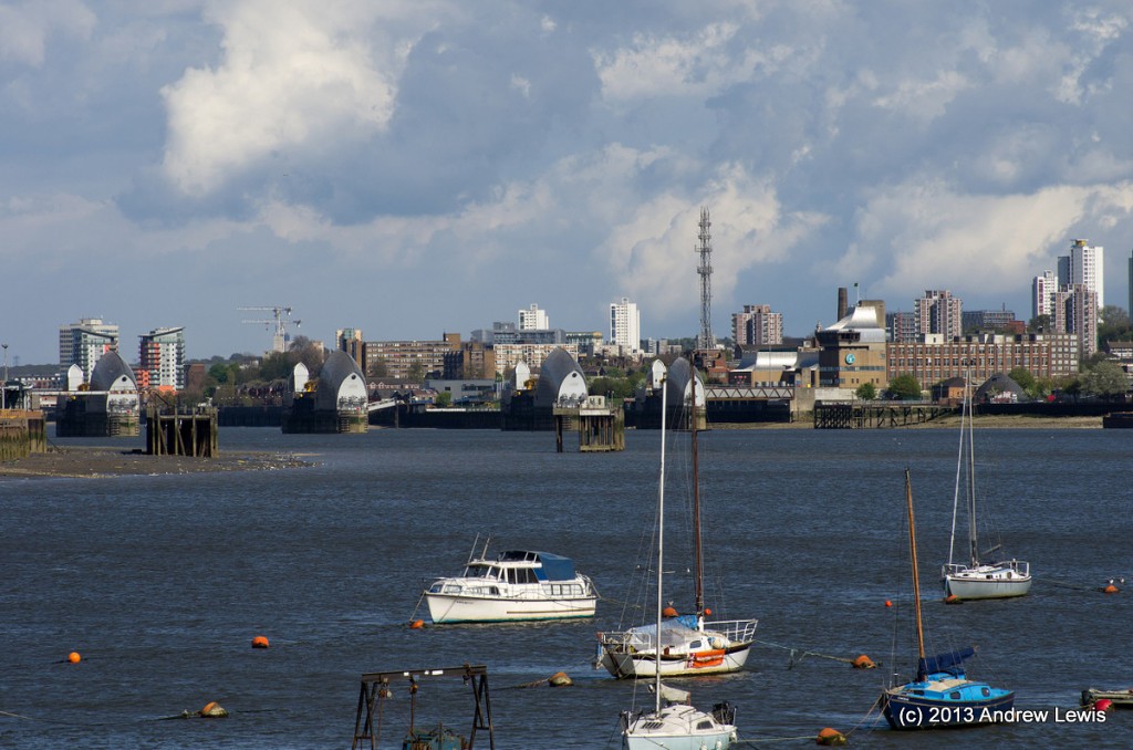
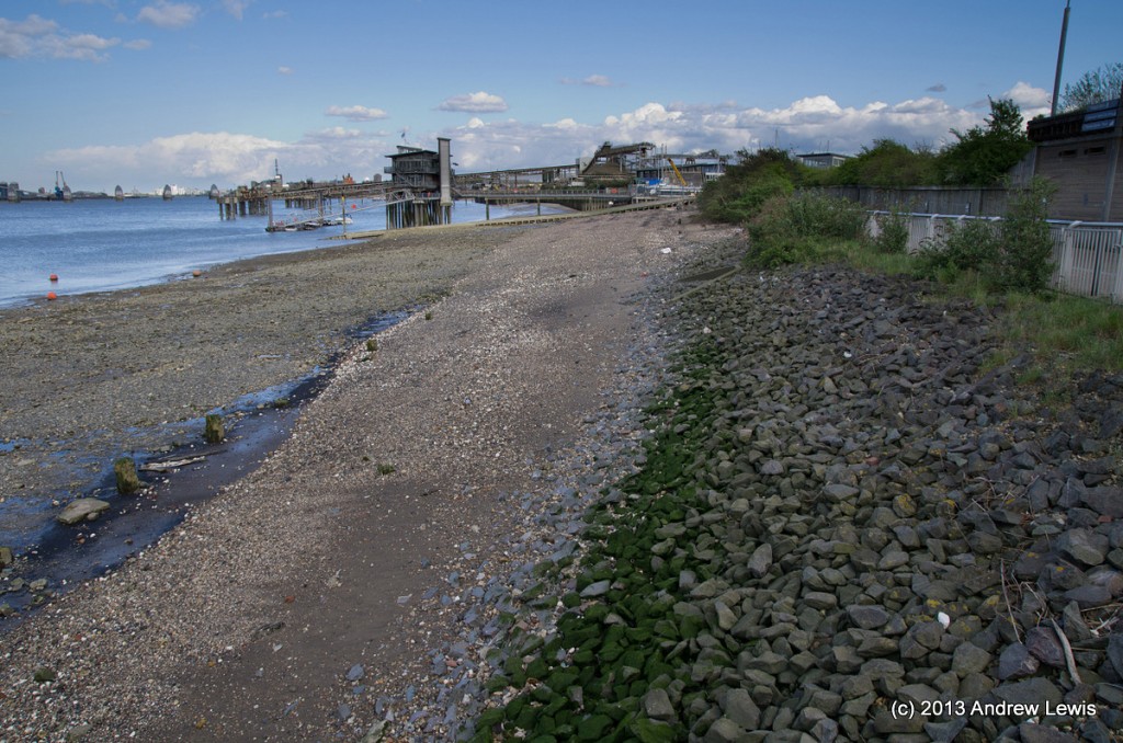
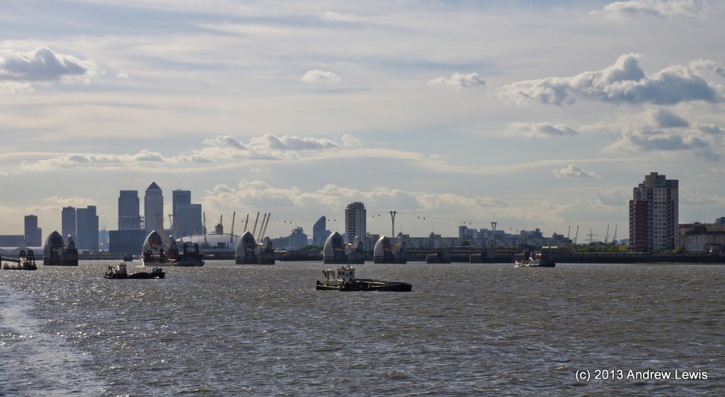
After disembarking the Thames path continues around the Greenwich peninsular, heading south eastwards. In the distance the official end point of the main Thames Path is visible – the Thames Barrier.
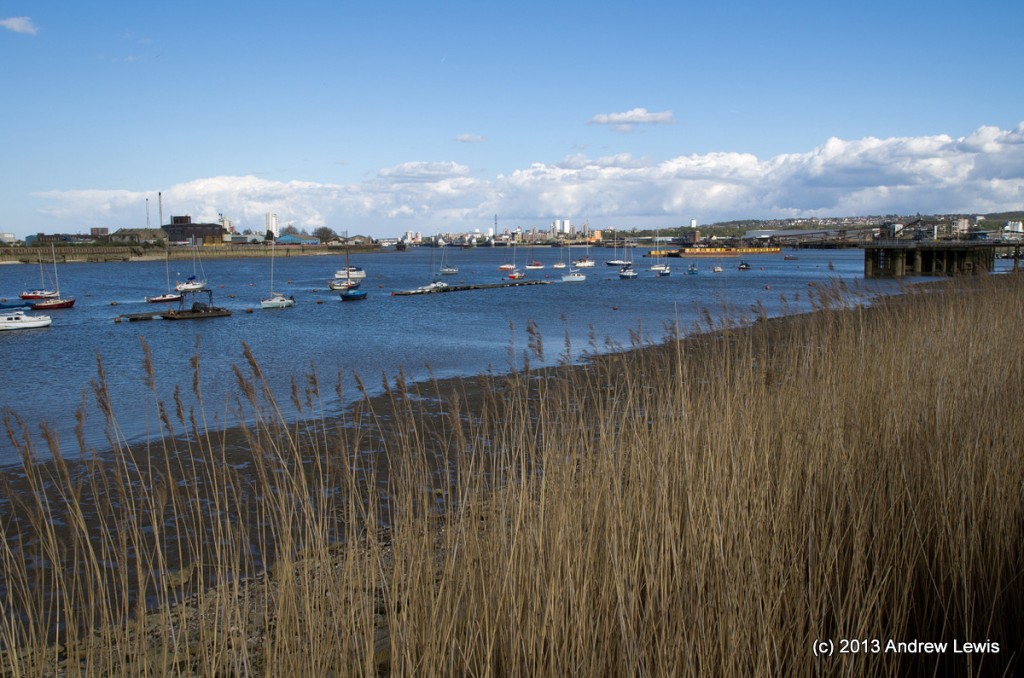
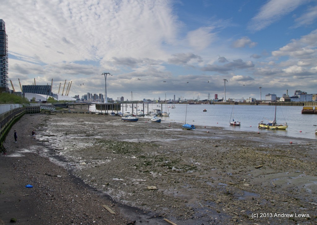
The Greenwich peninsular with its moored boats reminded me of Portland harbour on the south coast, at low tide. By now, the clouds that had given rain and threatening skies earlier in the afternoon, had rolled away into the distance and there was sunshine for a few hours.
When I was last here, the river was closed off for the Red Bull air races. I guess that the presence of the Air Line now precludes flying activities over the river. Also new since my previous visit, were several new housing developments
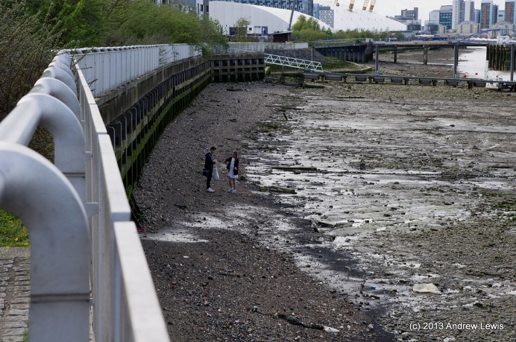
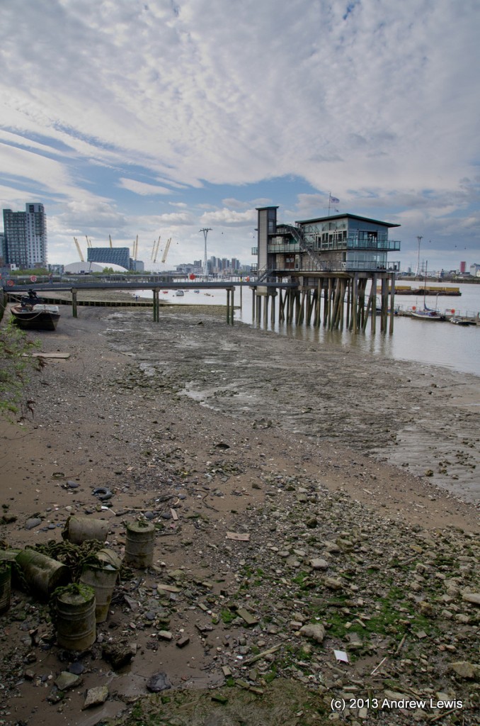
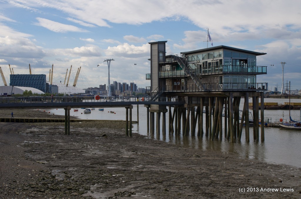
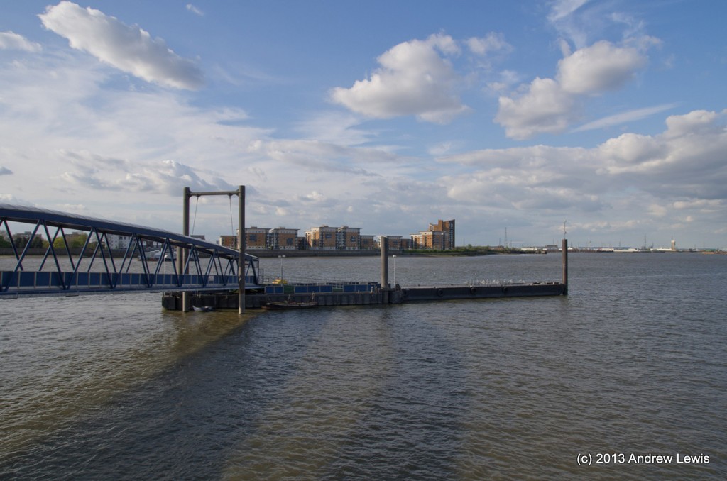
The river was at low tide during the walk exposing much of the shore line. The shallowness here explains the presence of the pontoons and associated walkways that are used by the ferry services – the ferries have to keep to the relatively deep water channels.
The low tide had brought out sever beach combers.
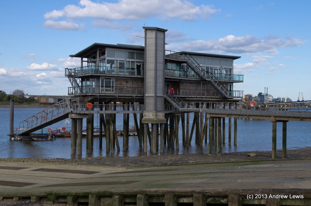
Next the path takes a slight detour inland around the facilities of the Greenwich Yacht Club.
The sunshine off to the east was counterpointed by a bank of cloud starting to roll in from the west.
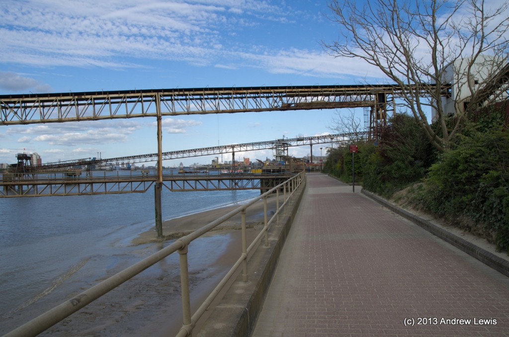
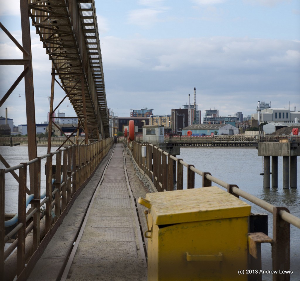
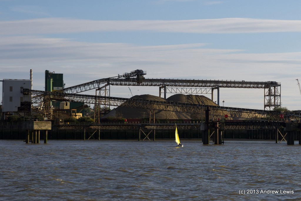
As the path continues to the east, it passes an industrial area mining and processing aggregates. Several conveyor belt systems span out across the path and head off to loading pontoons in the middle of the river.
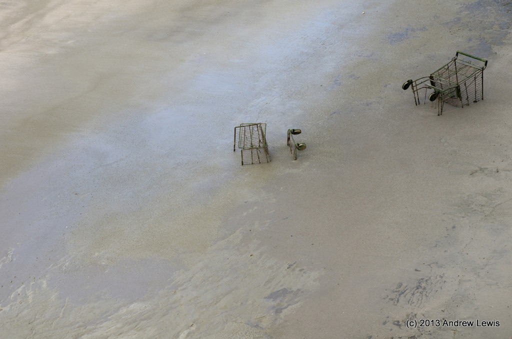
The whole area, including the footpath is covered in a fine layer of sand from the mining activities. The sand is also present in the river, where a large sandbank has entombed some unfortunate shopping trolleys.
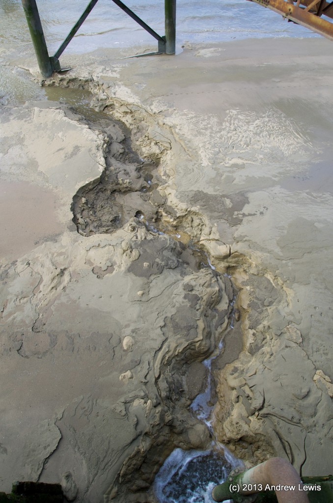
Nearby a small outfall pipe discharged water into the river. The intricate gulley that the water was carving through the sand would disappear in the next tide.
A quick glimpse west showed the clouds were continuing to roll in – soon the warm afternoon sunshine would be extinguished.
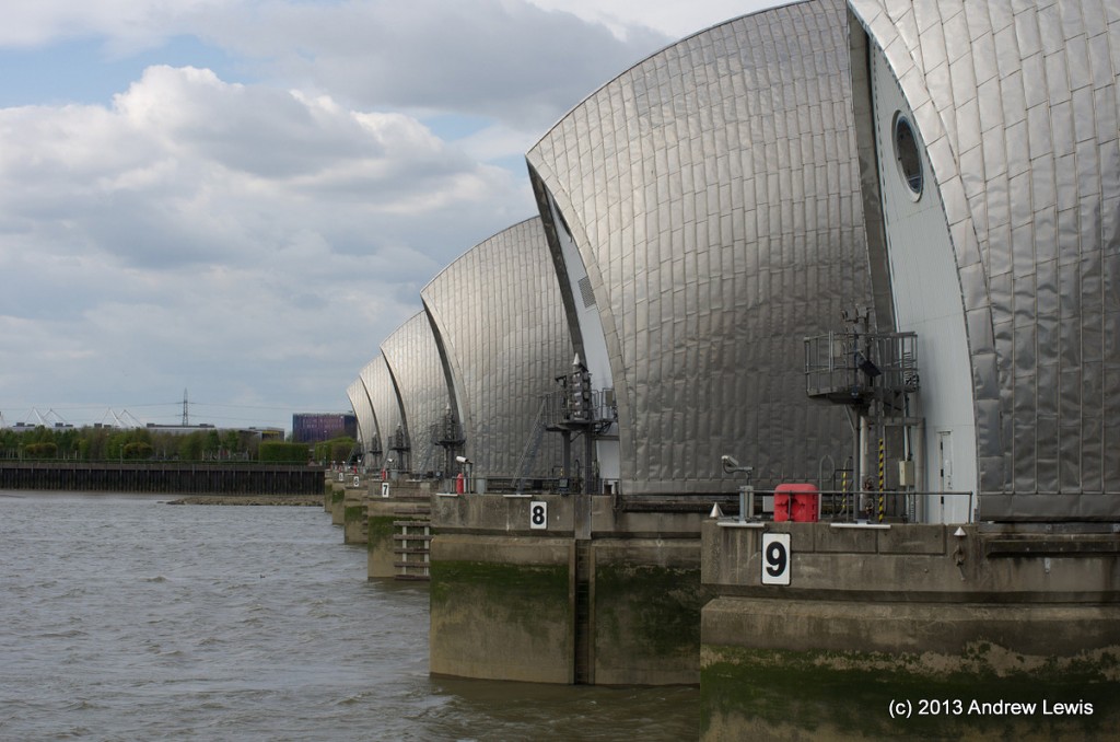
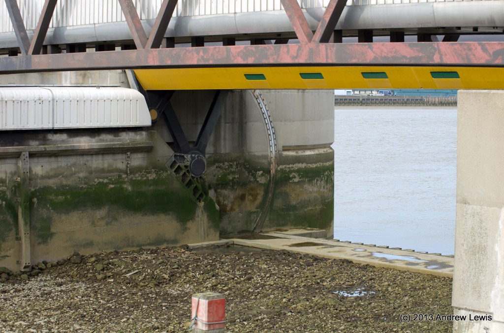
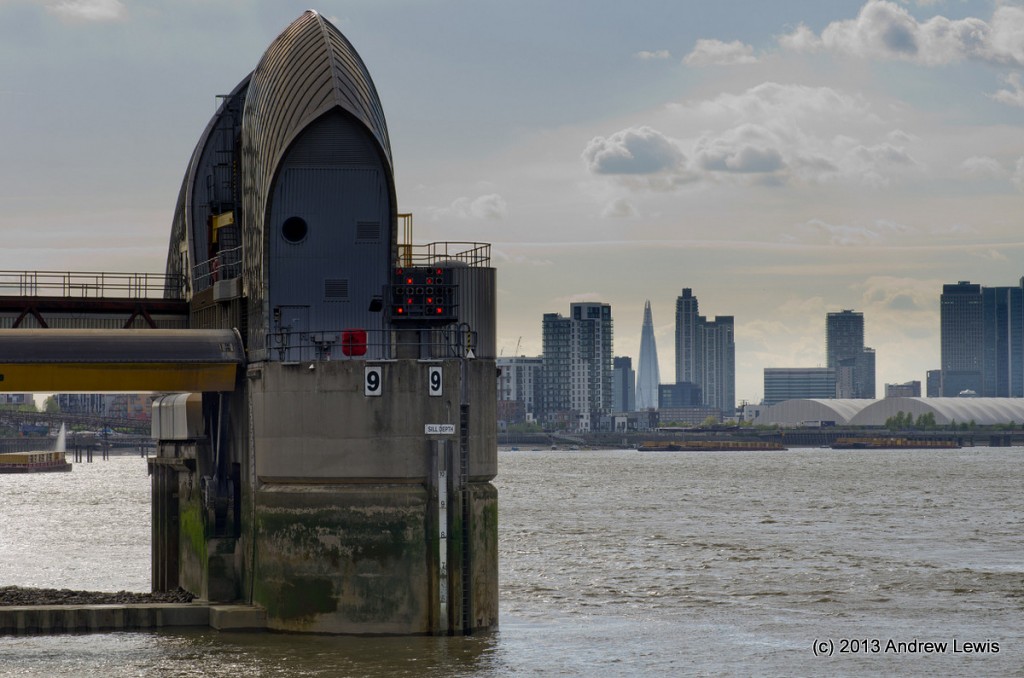
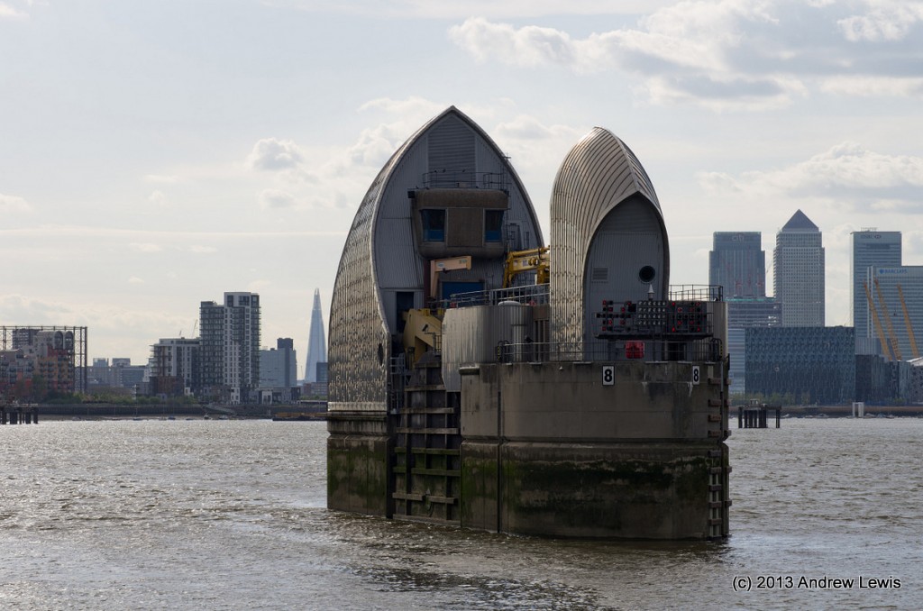
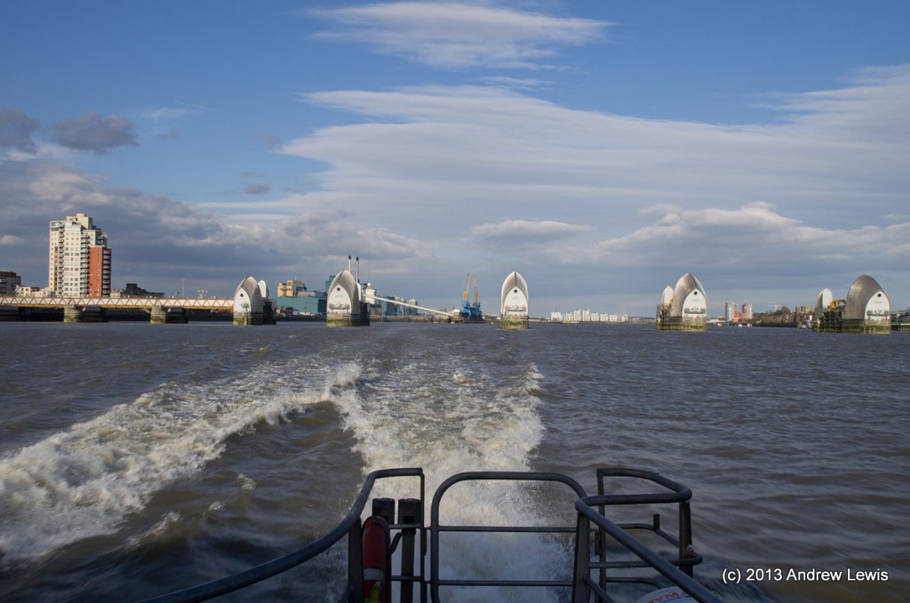
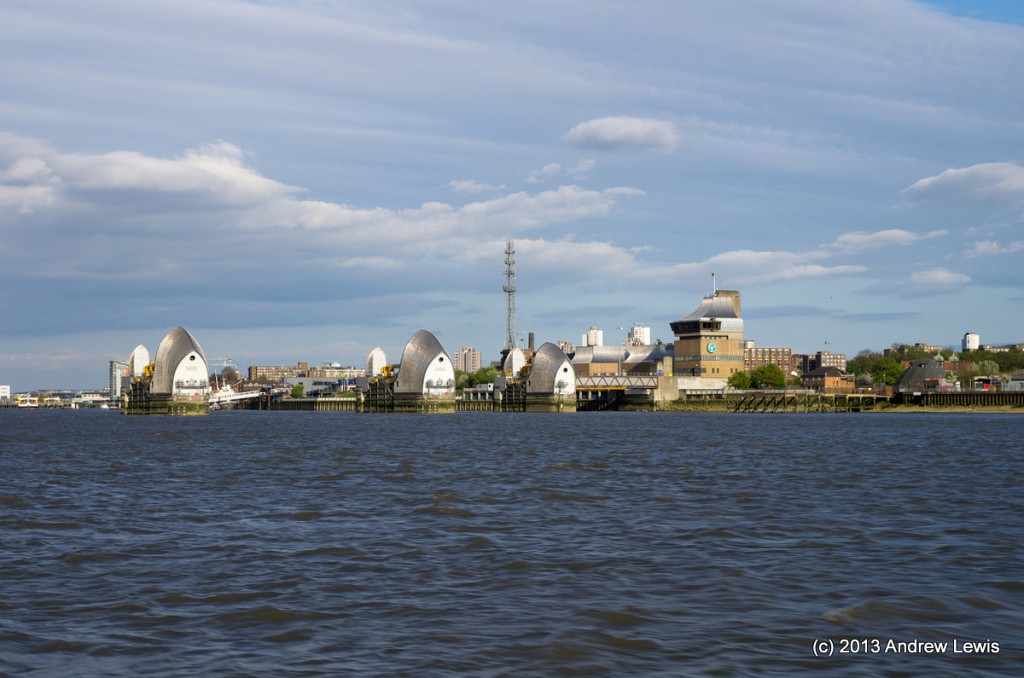
I hurried along eastwards, mindful of the time and the need to complete the walk in time to head back to the west. Next major landmark was of course the Thames Barrier.
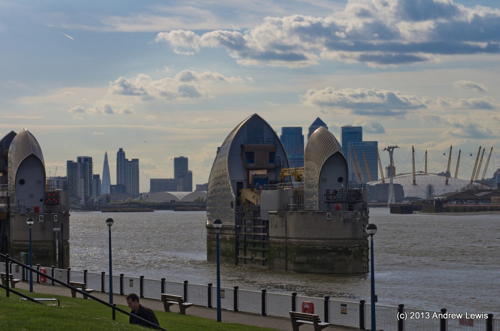
Just eastwards of the barrier is a small park and gardens that gives excellent views back through the barrier to the west.
A familiar orange glow of a westerly setting sun was starting to cover views of the City and slight haze in the air was decreasing the clarity.
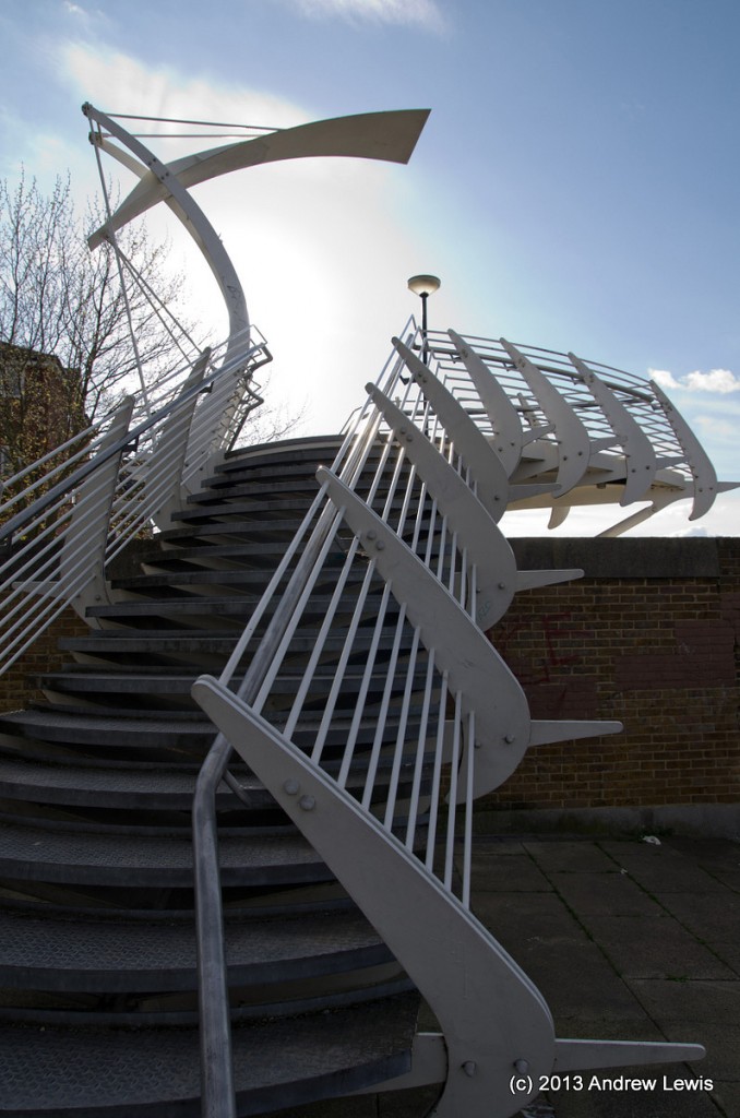
Sadly yet another detour was necessary as the path by the side of the river was blocked east of the Barrier Gardens Pier by an industrial park, which had not only closed off the path but also erected fences at the end of the nearest crossing road, thus requiring a longer diversion inland to the A206. The route is signposted and takes a meander through a new housing estate via Ruston Road, and Harlinger Street before finally regaining the riverside followed by a new set of steps as the pathway changes level and crosses a wall.
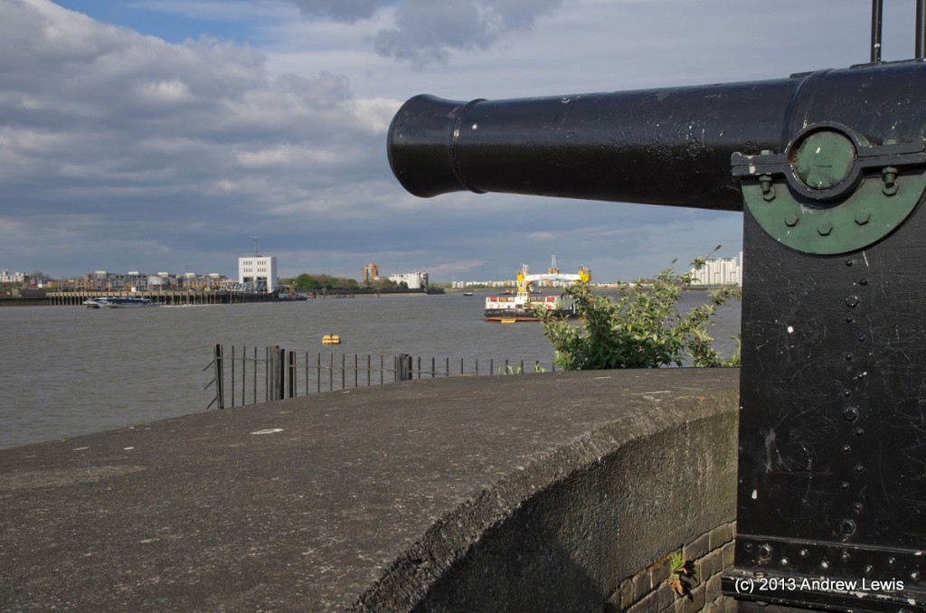
A reminder that the route is approaching the Woolwich Arsenal comes in the form of two guns overlooking the river.
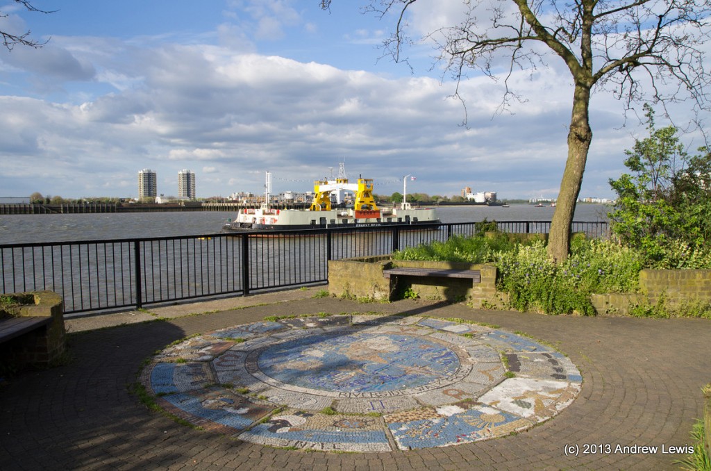
A mosaic in the path frames a view of one of the Woolwich Car ferries that was moored up. The other twin ferry was plying back and forth taking passengers and vehicles.
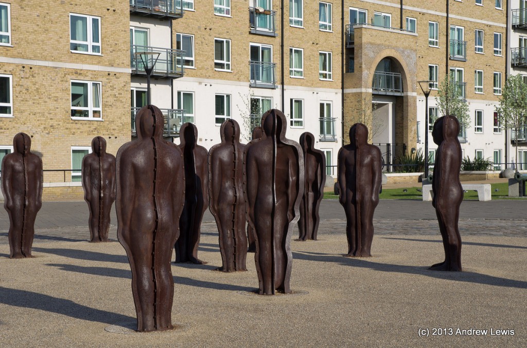
The time was approaching 6 pm as I hastened along the walkway past the Woolwich Car Ferry and eastwards towards the Woolwich Arsenal Pier, which would mark the end of this section of the route. A series of metal statues was in the roundabout at the end of No 1 Street, a short walk away from the Firepower museum.
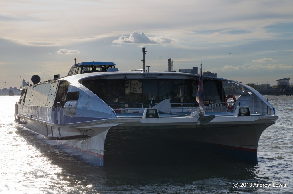
I checked my watch and saw that only a few minutes remained before the Thames Clipper ferry service was due. Woolwich Arsenal Pier is the extreme east end of their route and during mid afternoon not all of their fast services call there. There are then a few fast ferries which pick up people for the next few hours until the service ends at 2012.
So I dashed down the walkway to the pontoon where a display informed me that the next ferry was due in 3 minutes time.
The customary Google My Tracks entry for this walk is a bit strange because, at the end of the walk, having found myself way out in the east of London and needing to get back to Waterloo station, I decided to use the Thames Clipper service along the river. Unfortunately, I forgot to turn off and restart my GPS tracker app so, rather than the walk being about 6.5 miles long, it appears about 20 miles long, and for some points I appear to be travelling at about 30 knots over the surface of the water. At one point, I seem to rise up in the air to about 300 metres height. I guess the clipper boats are pretty fast and the Emirates Air Line is quite high…
Live scrollable/zoomable map of the walk:
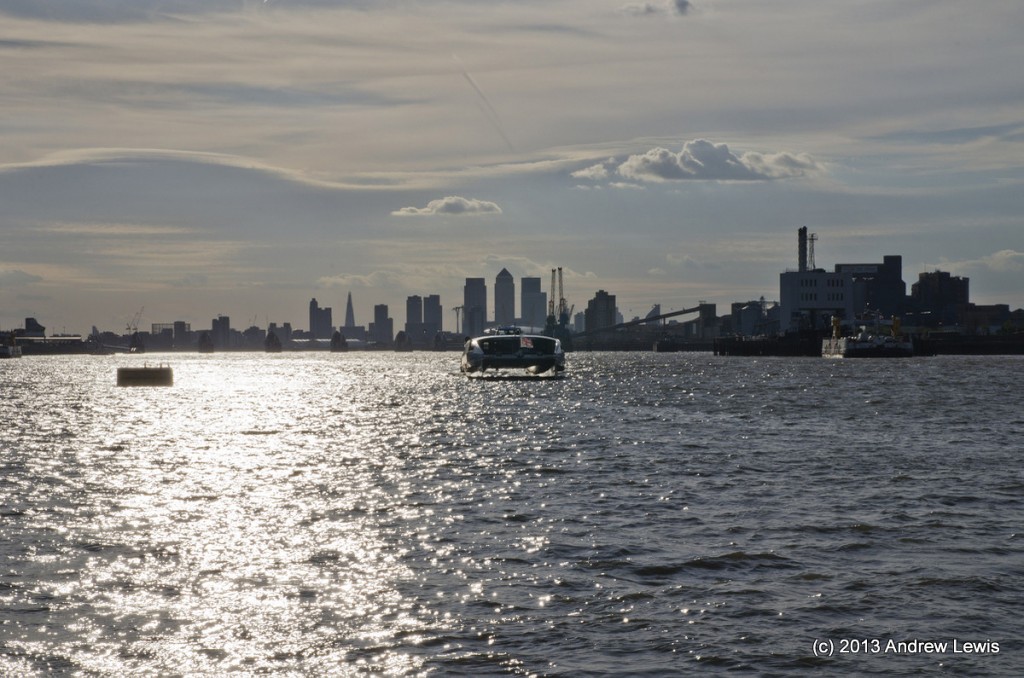
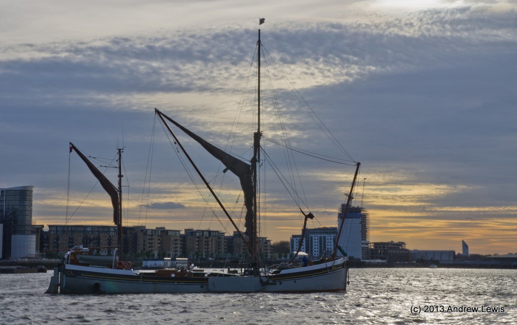
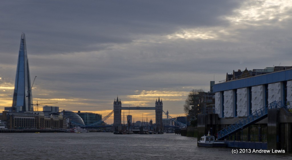
So here are a few snaps taken from the stern of the Thames Clipper as it headed back westwards towards central London.

